Mapping Trinidad in the Caribbean: Satellite Coordinates, Coastal Borders, and Marine Boundaries
 By Chloe Bennett
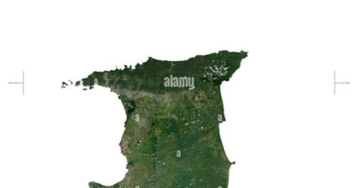
Pinpointing the island on an administrative map leads to its capital. The official Port of Spain coordinates read 10°40′ North latitude and 61°31′ West longitude. Spanning roughly 1,841 square miles (4,768 square kilometers), Trinidad is the fifth-largest island in the West Indies, behind Cuba, Hispaniola, Jamaica, and Puerto Rico.
Unlike the volcanic chain running north through Saint Vincent, Saint Lucia, and Martinique, Trinidad shares the bedrock of the Orinoco River delta. Tens of thousands of years ago during the last glacial maximum, a land bridge connected Trinidad directly to mainland South America. When rising sea levels submerged the lowland plains, they left a roughly rectangular island bracketed by three distinct mountain ranges running east to west.
The highest point, El Cerro del Aripo, rises 3,085 feet (940 meters) in the Northern Range. This ridge is a direct continuation of Venezuela’s coastal Andes (the Cordillera de la Costa). The proximity to South America endows Trinidad with flora and fauna unseen in the northern Antilles, from South American red howler monkeys to ocelots, accompanied by extensive mangrove systems fed by continental nutrient runoff.
Chloe Bennett explores the intersection of pop culture, streaming entertainment, digital trends, and contemporary lifestyle. Her weekly commentary reaches thousands of culture enthusiasts.
